Clécy et ses villages
Add to my favorites

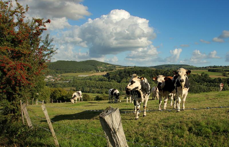
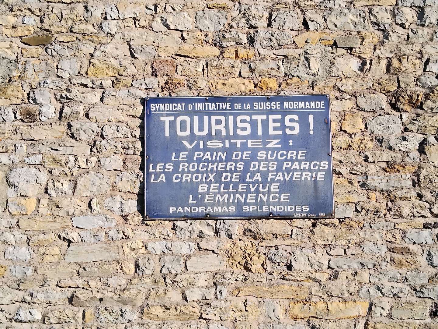
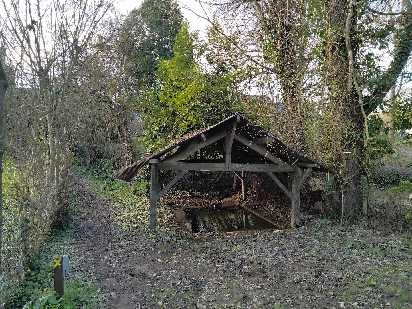
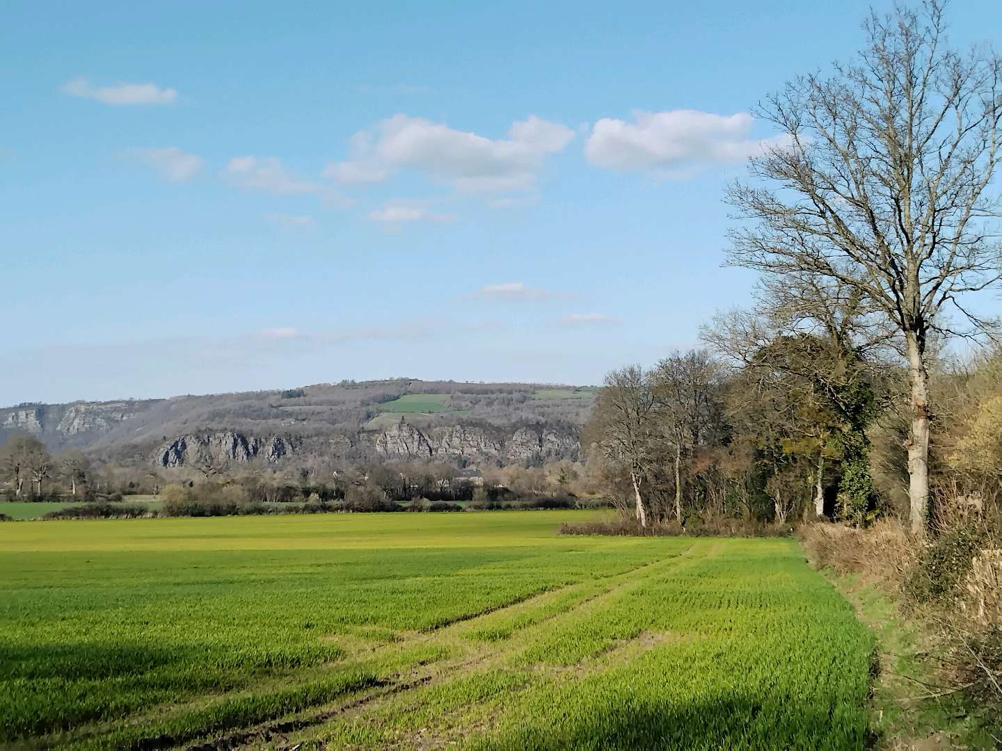
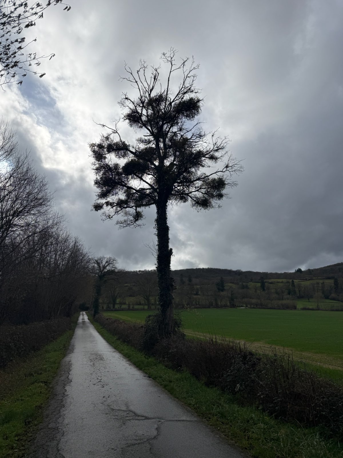
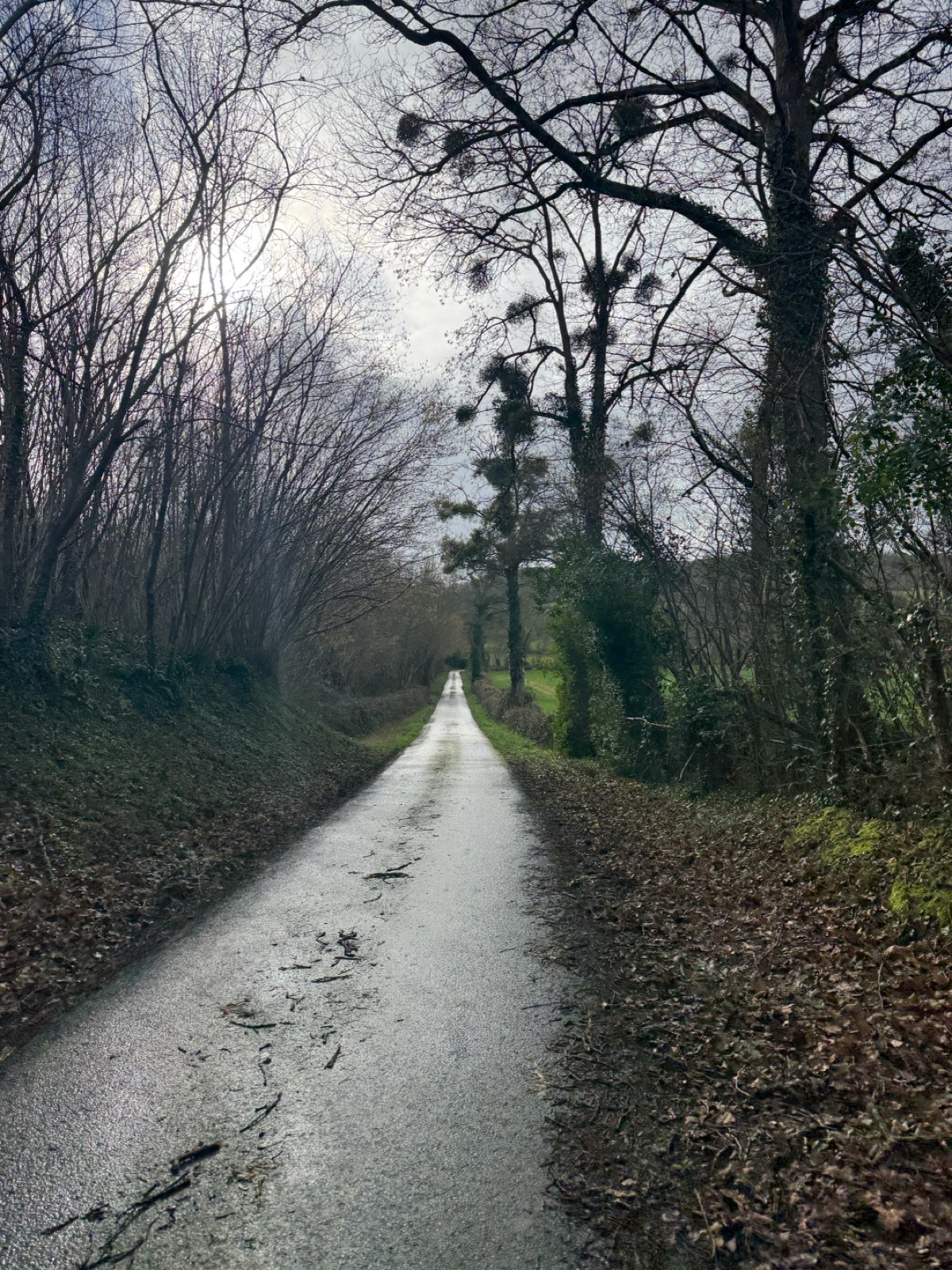
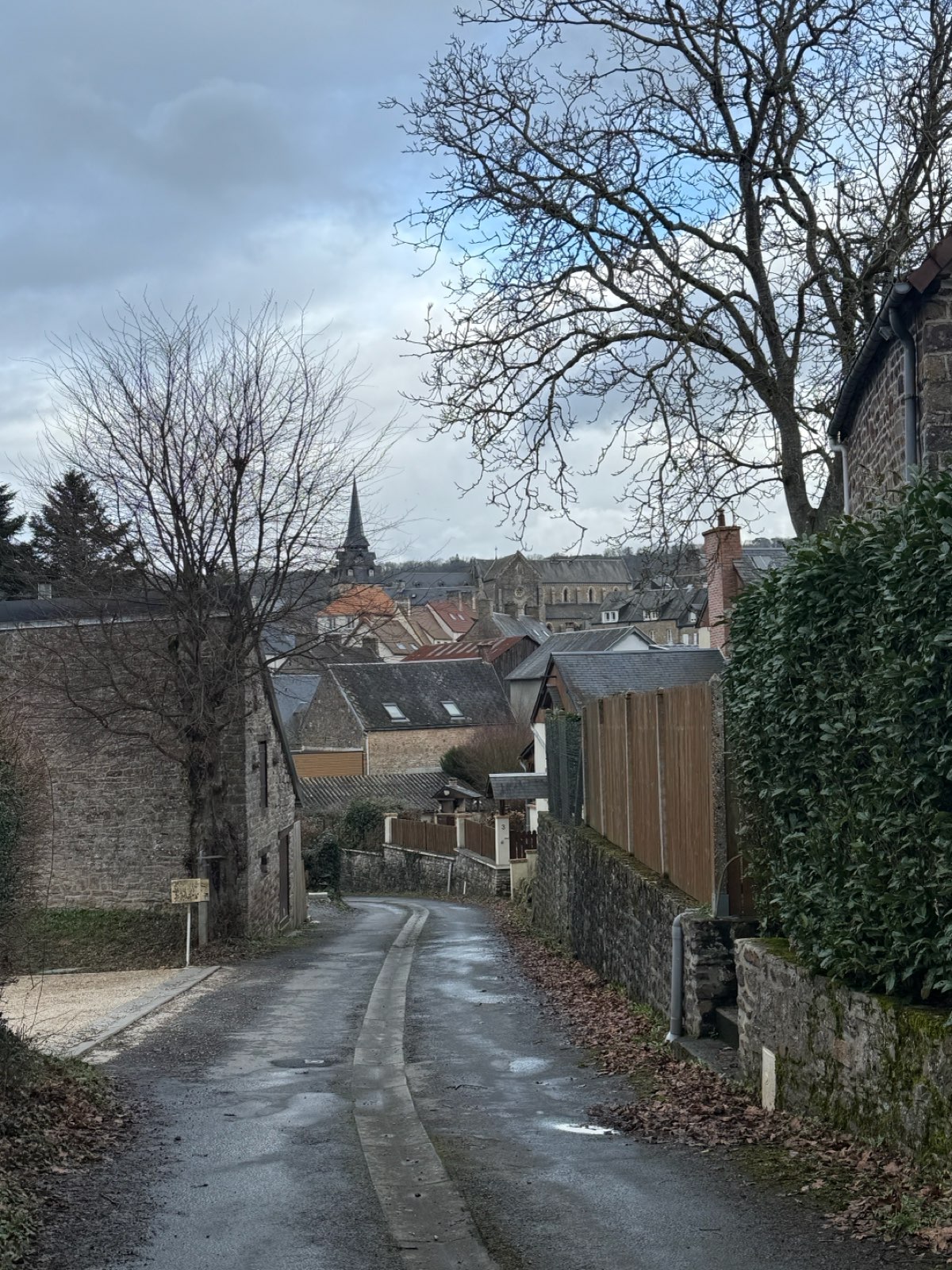
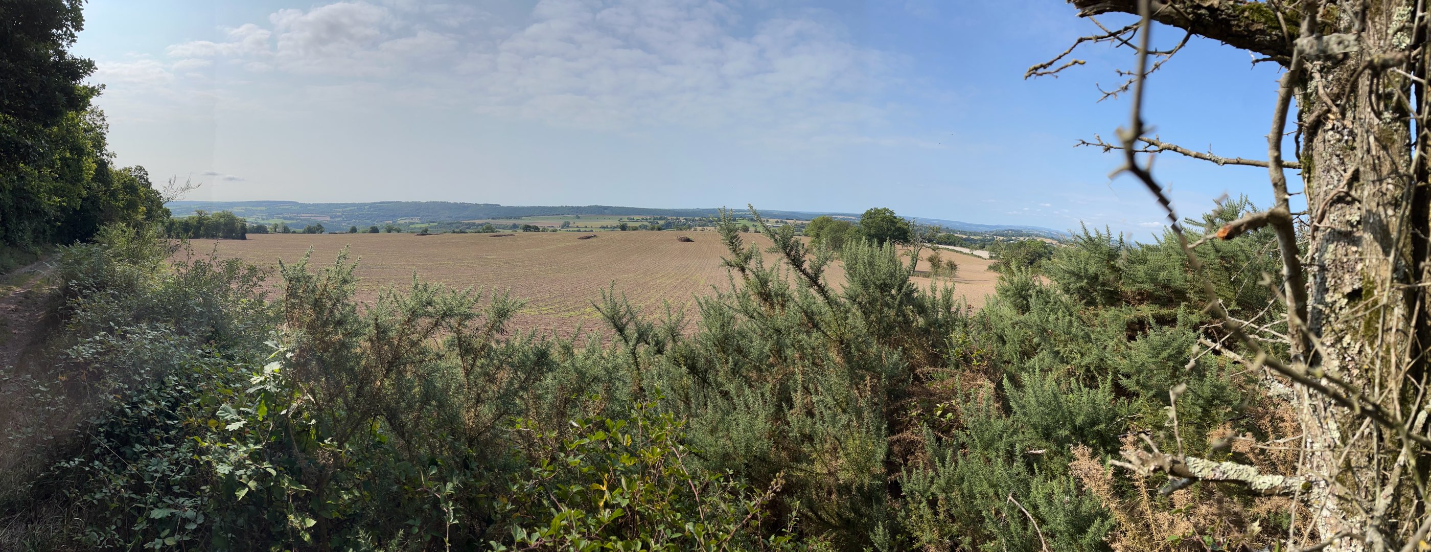
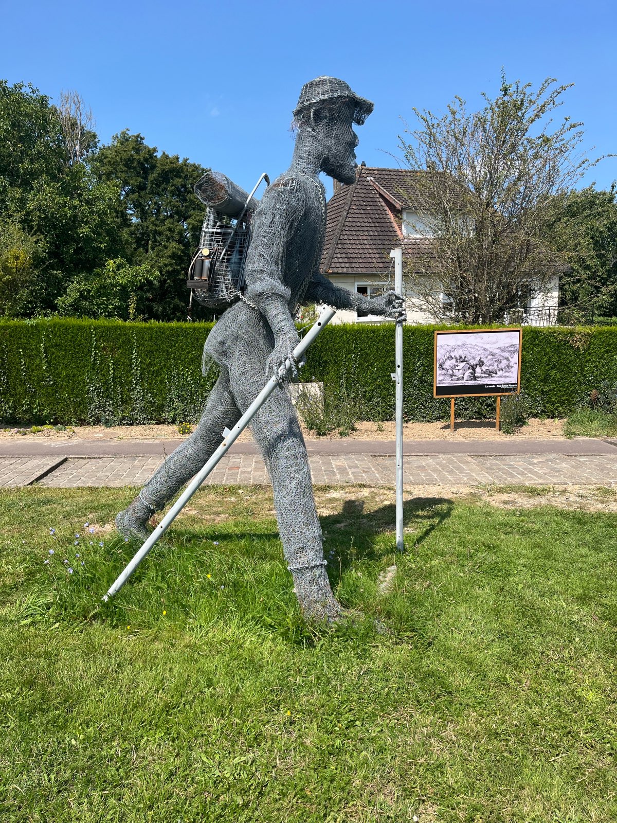
Randonnée à travers de charmants hameaux qui émaillent le village de Clécy.
The characteristics of the route.

CLECY (14)
- Distance 10.38 km
- Elevation gain 270 m
- Elevation lost 270 m
- Min. elevation 35 m
- Max. elevation. 246 m
- Duration (depending on pace) 02:45:00
Report a problem
33 - Clécy et ses villages All the routes on your smartphone
Download the Suisse Normande Outdoor mobile app
Get all the routes on your smartphone with the Suisse Normande Outdoor app. You'll find a host of functions:
- Take advantage of detailed IGN maps
- Download data for consultation even when you're not connected to the network
- Geolocate yourself at any time on the route and altimeter profile
- Activate the off-track alarm to be alerted if you stray from the itinerary
- Find nearby services
- Share your experience (add a report, share your lap time)...

The latest reviews & times
FX53
The 2026/04/22
En savoir plus
Nyska14
finished in 02:30:00
The 2026/03/04
En savoir plus
sindy_rando
The 2026/02/07
En savoir plus
Valeliev
finished in 02:00:00
The 2025/08/09
En savoir plus
See all reviews & times
2026/04/22 FX53
Services nearby

La Suisse Gourmande
CLECY
Chez Loulou et Loulette
CLECY
L'Epicerie du Coing - Clécy
CLECY
La Ferme du Vey
LE VEY

CPNLT / CAPA'VENTURE
CLECY


Falaise - Suisse Normande Tourist Office
+33(0)2 31 90 17 26
Tourist Office
send mail
Suisse Normande Tourisme
+33(0)2 31 79 70 45
Tourist Office
send mail
![]()
Montagnes de Normandie
+33(0)2 31 59 13 13
Tourist Office
send mail
Val d'Orne Tourist Office
+33(0)2 33 35 86 57
Tourist Office
send mail
 Suisse Normande Outdoor - Parcours - Clécy et ses villages
Hello, world! This is a toast message.
Suisse Normande Outdoor - Parcours - Clécy et ses villages
Hello, world! This is a toast message.
Suisse Normande Outdoor - Parcours - Clécy et ses villages
Hello, world! This is a toast message.


OK
Annuler