Des montagnes en Normandie ?
Add to my favorites

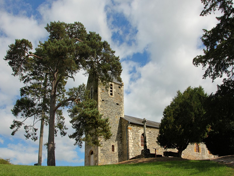
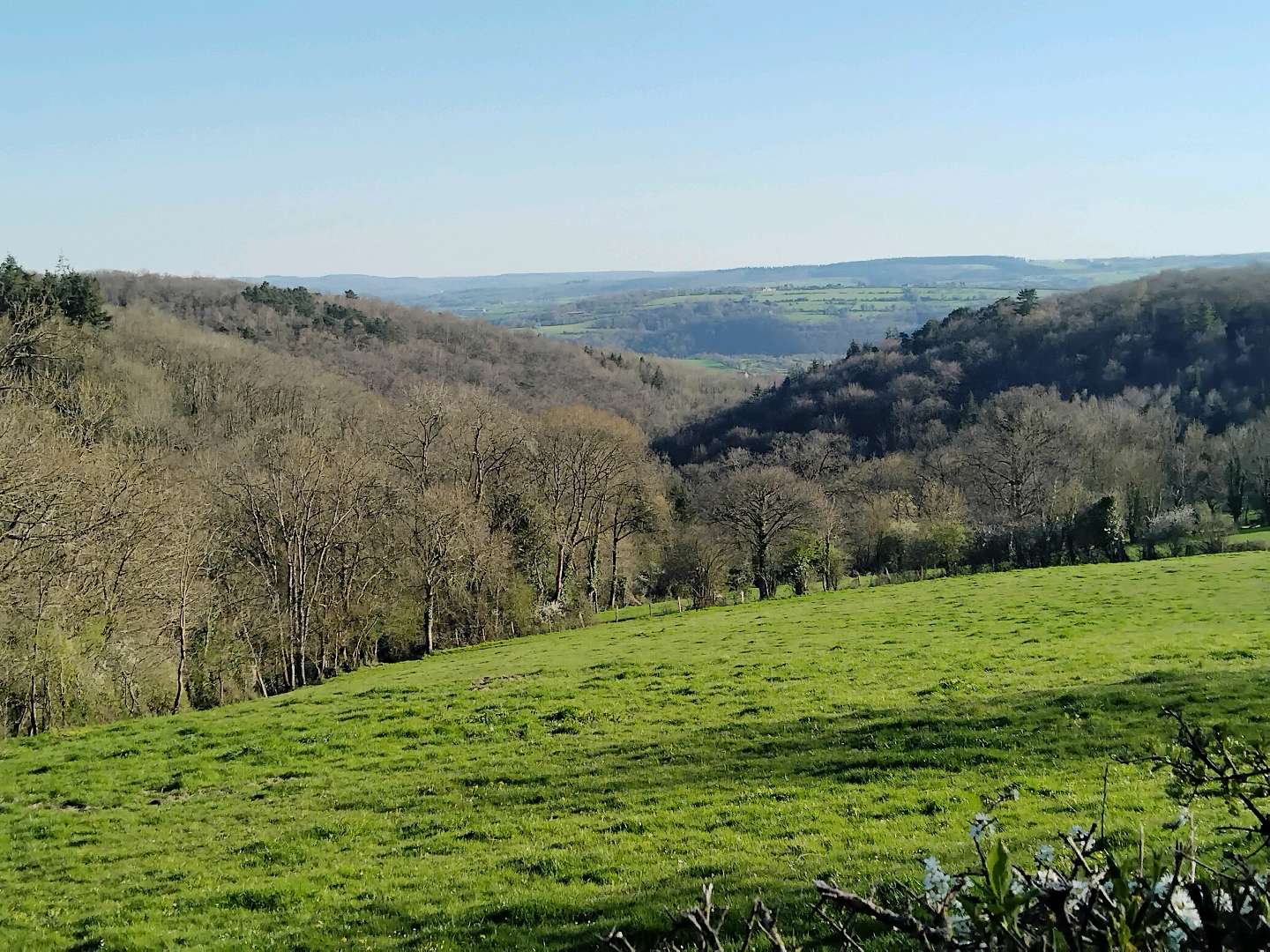
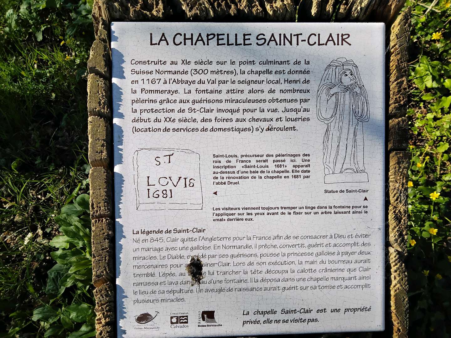
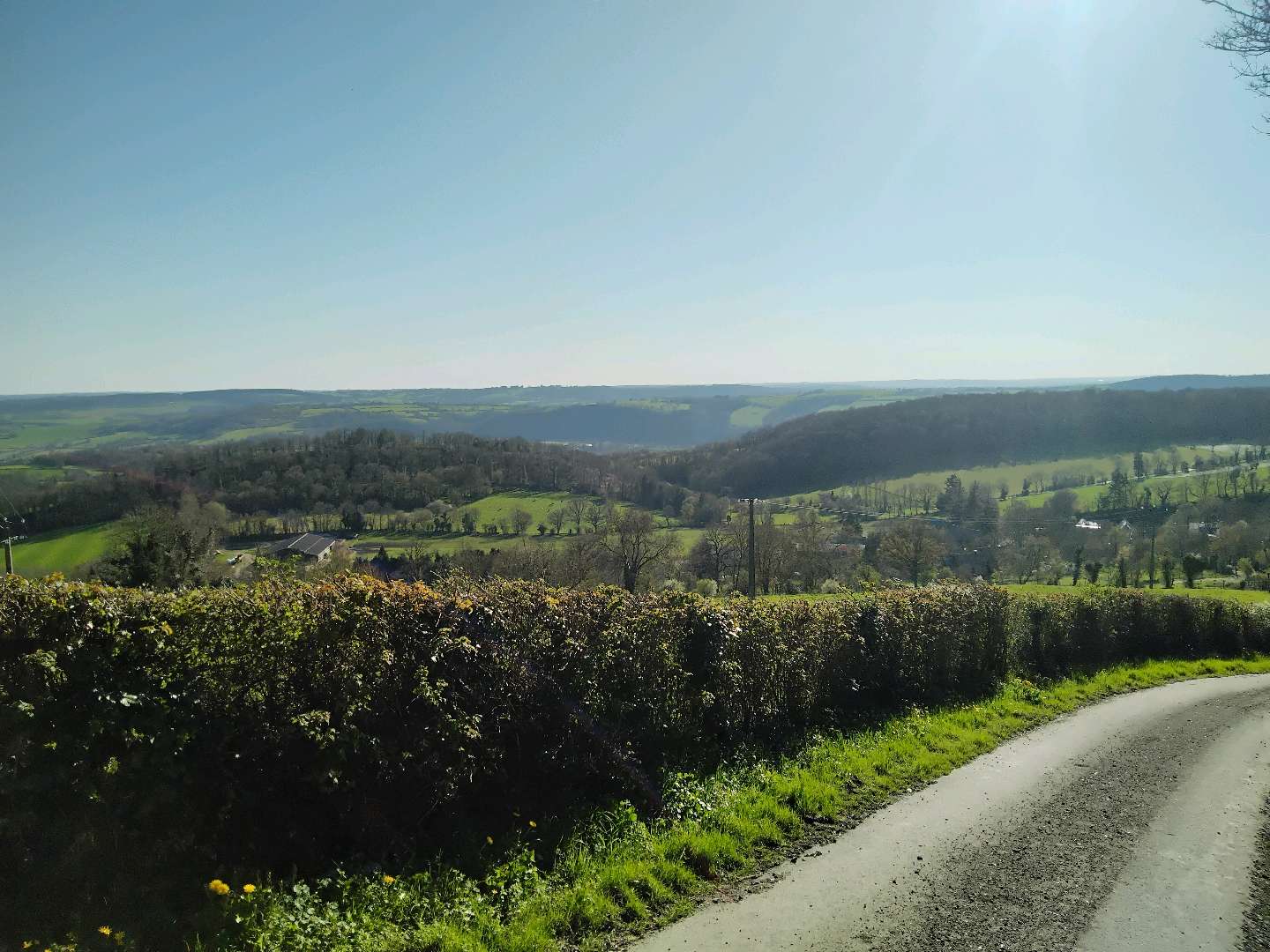
Randonnée de 16,5 km sur les hauteurs de la Suisse Normande. N'hésitez pas à faire un détour afin d'admirer les vestiges de l'Abbaye du Val. Sur le trajet, un magnifique panorama et la charmante chapelle Saint Clair.
The characteristics of the route.

SAINT-OMER (14)
- Distance 16.51 km
- Elevation gain 470 m
- Elevation lost 470 m
- Min. elevation 91 m
- Max. elevation. 300 m
- Duration (depending on pace) 04:30:00
Report a problem
7. Des montagnes en Normandie 2024 WEB All the routes on your smartphone
Download the Suisse Normande Outdoor mobile app
Get all the routes on your smartphone with the Suisse Normande Outdoor app. You'll find a host of functions:
- Take advantage of detailed IGN maps
- Download data for consultation even when you're not connected to the network
- Geolocate yourself at any time on the route and altimeter profile
- Activate the off-track alarm to be alerted if you stray from the itinerary
- Find nearby services
- Share your experience (add a report, share your lap time)...

Nyska14
The 2026/03/18
En savoir plus
Drine276
The 2025/08/03
En savoir plus
Ajouter votre chrono et partager vos sensations
2025/08/03 Drine276
Services nearby

EARL les basses planches
SAINT-OMER
La Ferme du Vey
LE VEY

CPNLT / CAPA'VENTURE
CLECY
Centre de Pleine Nature Lionel Terray/Capa'venture
CLECY
Chez Loulou et Loulette
CLECY


Falaise - Suisse Normande Tourist Office
+33(0)2 31 90 17 26
Tourist Office
send mail
Suisse Normande Tourisme
+33(0)2 31 79 70 45
Tourist Office
send mail
![]()
Montagnes de Normandie
+33(0)2 31 59 13 13
Tourist Office
send mail
Val d'Orne Tourist Office
+33(0)2 33 35 86 57
Tourist Office
send mail
 Suisse Normande Outdoor - Parcours - Des montagnes en Normandie ?
Hello, world! This is a toast message.
Suisse Normande Outdoor - Parcours - Des montagnes en Normandie ?
Hello, world! This is a toast message.
Suisse Normande Outdoor - Parcours - Des montagnes en Normandie ?
Hello, world! This is a toast message.


OK
Annuler