
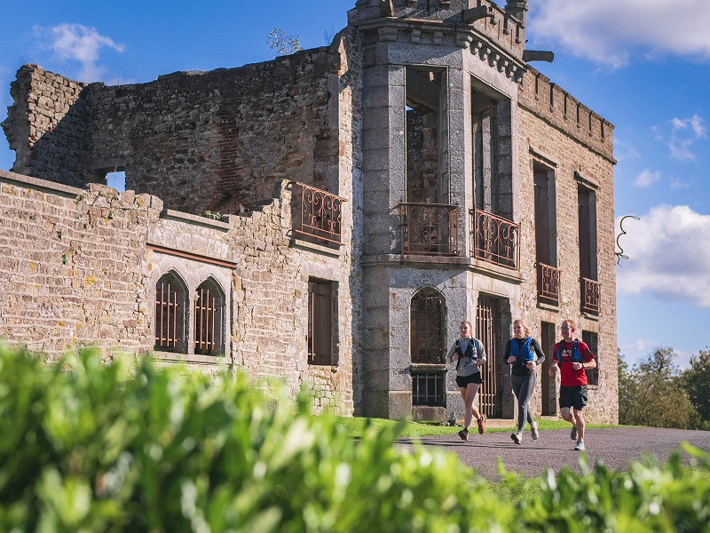
En partant juste sous l’ancien château, cette boucle vous fait d’abord explorer les magnifiques sentiers forestiers du Mont de Cerisy avant de descendre une longue mais douce pente pour rejoindre le bas du parcours, d’où vous pourrez parfois observer votre point de départ. Le chemin du retour est plutôt roulant. En allongeant la foulée sur les quelques kilomètres descendants, vous reviendrez sous le Mont, où un dernier effort sur une pente raide vous attend pour compléter ce joli tour dans la campagne normande.

- Distance 15.75 km
- Elevation gain 390 m
- Elevation lost 390 m
- Min. elevation 123 m
- Max. elevation. 290 m
- Duration (depending on pace) 1h30 à 3h
- Suivre le balisage

Get all the routes on your smartphone with the Suisse Normande Outdoor app. You'll find a host of functions:
- Take advantage of detailed IGN maps
- Download data for consultation even when you're not connected to the network
- Geolocate yourself at any time on the route and altimeter profile
- Activate the off-track alarm to be alerted if you stray from the itinerary
- Find nearby services
- Share your experience (add a report, share your lap time)...


Falaise - Suisse Normande Tourist Office
+33(0)2 31 90 17 26
Tourist Office
send mail
Suisse Normande Tourisme
+33(0)2 31 79 70 45
Tourist Office
send mail
![]()
Montagnes de Normandie
+33(0)2 31 59 13 13
Tourist Office
send mail
Val d'Orne Tourist Office
+33(0)2 33 35 86 57
Tourist Office
send mail
 Suisse Normande Outdoor - Parcours - 24 - Aventure aux sommets du Mont Cerisy au Mont Crespin
Suisse Normande Outdoor - Parcours - 24 - Aventure aux sommets du Mont Cerisy au Mont Crespin
Suisse Normande Outdoor - Parcours - 24 - Aventure aux sommets du Mont Cerisy au Mont Crespin
Suisse Normande Outdoor - Parcours - 24 - Aventure aux sommets du Mont Cerisy au Mont Crespin
Suisse Normande Outdoor - Parcours - 24 - Aventure aux sommets du Mont Cerisy au Mont Crespin

