
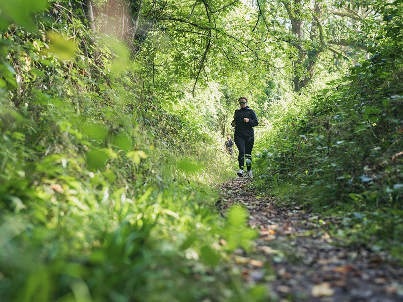
Ce court parcours saura vous en mettre plein la vue dès le départ avec une superbe entrée en matière, en remontant la Rouvre. Passés ces deux kilomètres en bord de rivière, vous pourrez allonger la foulée dans des sentiers forestiers typiques de la région ou sur des chemins à travers champ pour regagner le point de départ de cette jolie sortie.

- Distance 6.92 km
- Elevation gain 122 m
- Elevation lost 122 m
- Min. elevation 125 m
- Max. elevation. 192 m
- Duration (depending on pace) 0h40 à 2h
- Suivre le balisage

Get all the routes on your smartphone with the Suisse Normande Outdoor app. You'll find a host of functions:
- Take advantage of detailed IGN maps
- Download data for consultation even when you're not connected to the network
- Geolocate yourself at any time on the route and altimeter profile
- Activate the off-track alarm to be alerted if you stray from the itinerary
- Find nearby services
- Share your experience (add a report, share your lap time)...


Falaise - Suisse Normande Tourist Office
+33(0)2 31 90 17 26
Tourist Office
send mail
Suisse Normande Tourisme
+33(0)2 31 79 70 45
Tourist Office
send mail
![]()
Montagnes de Normandie
+33(0)2 31 59 13 13
Tourist Office
send mail
Val d'Orne Tourist Office
+33(0)2 33 35 86 57
Tourist Office
send mail
 Suisse Normande Outdoor - Parcours - 23 - La Rouvre en bordure, les cailloux sous les pieds
Suisse Normande Outdoor - Parcours - 23 - La Rouvre en bordure, les cailloux sous les pieds
Suisse Normande Outdoor - Parcours - 23 - La Rouvre en bordure, les cailloux sous les pieds
Suisse Normande Outdoor - Parcours - 23 - La Rouvre en bordure, les cailloux sous les pieds
Suisse Normande Outdoor - Parcours - 23 - La Rouvre en bordure, les cailloux sous les pieds

