
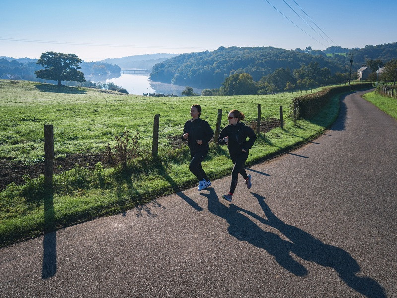
Voici un itinéraire complet qui vous permettra d’effectuer une sortie longue sur une distance maratrail, en profitant de la diversité des ambiances et chemins autour du Lac de Suisse Normande et du Vieux Saint Aubert. Vous alternerez entre chemins, sentiers et petites routes, plongeant tour à tour dans des ambiances variées : sous-bois, bords de lac, gorges profondes ou haies bocagères. Son profil à la fois roulant mais cassant, impliquera de bien gérer son effort pour assurer les nombreuses relances.

- Distance 38.45 km
- Elevation gain 995 m
- Elevation lost 995 m
- Min. elevation 77 m
- Max. elevation. 230 m
- Duration (depending on pace) 4h à 8h
- Suivre le balisage

Get all the routes on your smartphone with the Suisse Normande Outdoor app. You'll find a host of functions:
- Take advantage of detailed IGN maps
- Download data for consultation even when you're not connected to the network
- Geolocate yourself at any time on the route and altimeter profile
- Activate the off-track alarm to be alerted if you stray from the itinerary
- Find nearby services
- Share your experience (add a report, share your lap time)...


Falaise - Suisse Normande Tourist Office
+33(0)2 31 90 17 26
Tourist Office
send mail
Suisse Normande Tourisme
+33(0)2 31 79 70 45
Tourist Office
send mail
![]()
Montagnes de Normandie
+33(0)2 31 59 13 13
Tourist Office
send mail
Val d'Orne Tourist Office
+33(0)2 33 35 86 57
Tourist Office
send mail
 Suisse Normande Outdoor - Parcours - 18 - Maratrail du Lac
Suisse Normande Outdoor - Parcours - 18 - Maratrail du Lac
Suisse Normande Outdoor - Parcours - 18 - Maratrail du Lac
Suisse Normande Outdoor - Parcours - 18 - Maratrail du Lac
Suisse Normande Outdoor - Parcours - 18 - Maratrail du Lac

