
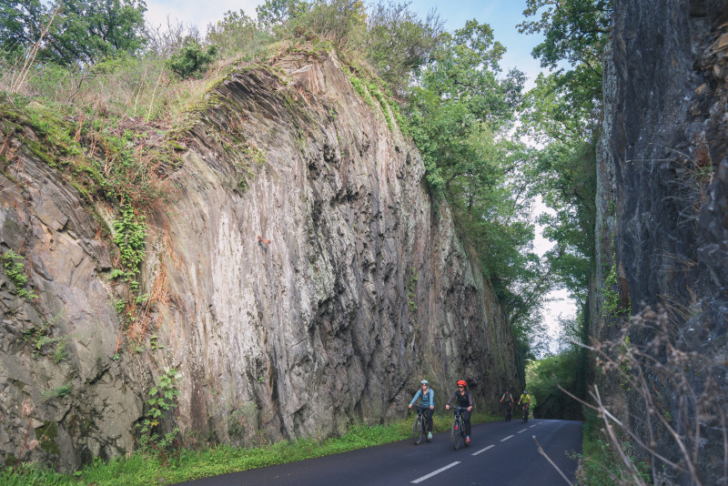
Parcours VTTAE de plus de 35 kilomètres. Au départ de Thury-Harcourt, longez l'Orne puis prenez de la hauteur vers Curcy-sur-Orne avant de rebasculer vers la Vallée du Trapsy puis la Vallée des Vaux. Au pont de la Mousse, remontez sur Saint-Martin-de-sallen par les bois de Culey avant de rejoindre la chapelle Saint-Joseph et terminer par la colline d'enfer.

- Distance 36.69 km
- Elevation gain 890 m
- Elevation lost 890 m
- Min. elevation 18 m
- Max. elevation. 195 m
- Duration (depending on pace) 4h
- Suivre le balisage

Get all the routes on your smartphone with the Suisse Normande Outdoor app. You'll find a host of functions:
- Take advantage of detailed IGN maps
- Download data for consultation even when you're not connected to the network
- Geolocate yourself at any time on the route and altimeter profile
- Activate the off-track alarm to be alerted if you stray from the itinerary
- Find nearby services
- Share your experience (add a report, share your lap time)...


Falaise - Suisse Normande Tourist Office
+33(0)2 31 90 17 26
Tourist Office
send mail
Suisse Normande Tourisme
+33(0)2 31 79 70 45
Tourist Office
send mail
![]()
Montagnes de Normandie
+33(0)2 31 59 13 13
Tourist Office
send mail
Val d'Orne Tourist Office
+33(0)2 33 35 86 57
Tourist Office
send mail
 Suisse Normande Outdoor - Parcours - 16 - Par monts et par vaux
Suisse Normande Outdoor - Parcours - 16 - Par monts et par vaux
Suisse Normande Outdoor - Parcours - 16 - Par monts et par vaux
Suisse Normande Outdoor - Parcours - 16 - Par monts et par vaux
Suisse Normande Outdoor - Parcours - 16 - Par monts et par vaux

