
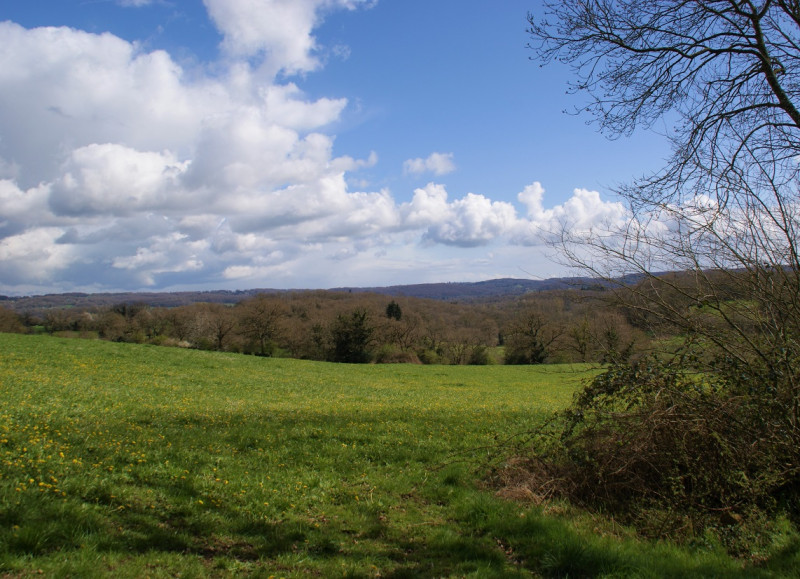
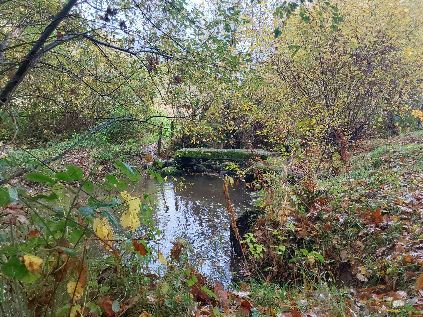
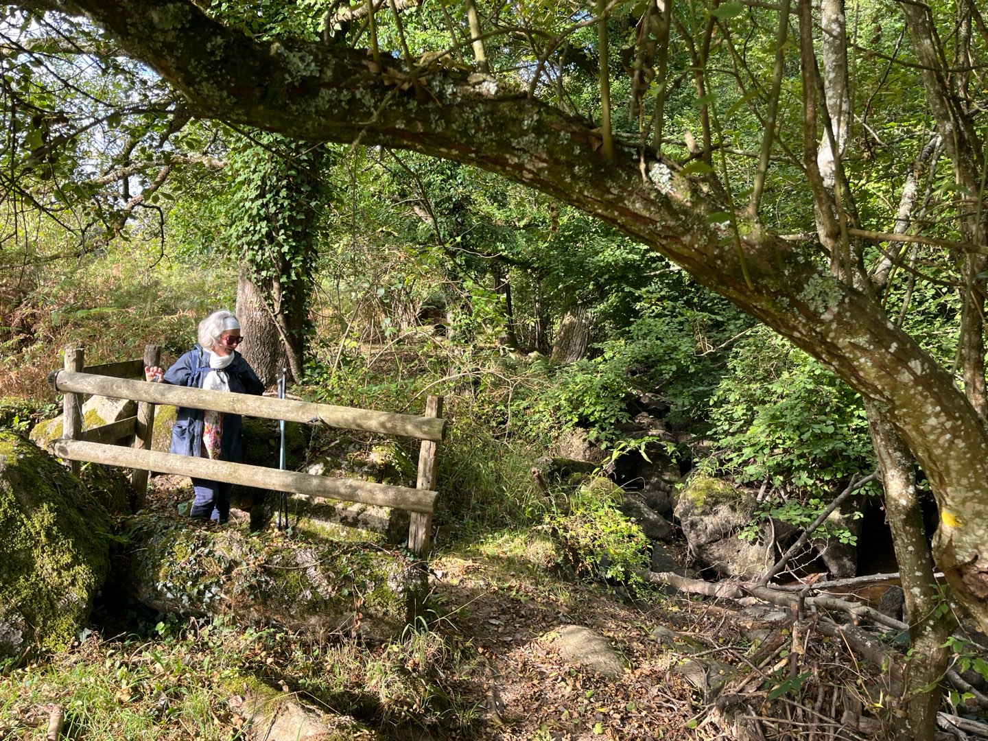
Parcourez les reliefs accidentés et verdoyants à travers les chemins creux et le long du Lembron (affluent de la Rouvre qui délimite Taillebois et La Lande-Saint-Siméon). Le circuit est jalonné de 6 pupitres qui retracent les évolutions du paysage au fil du temps.
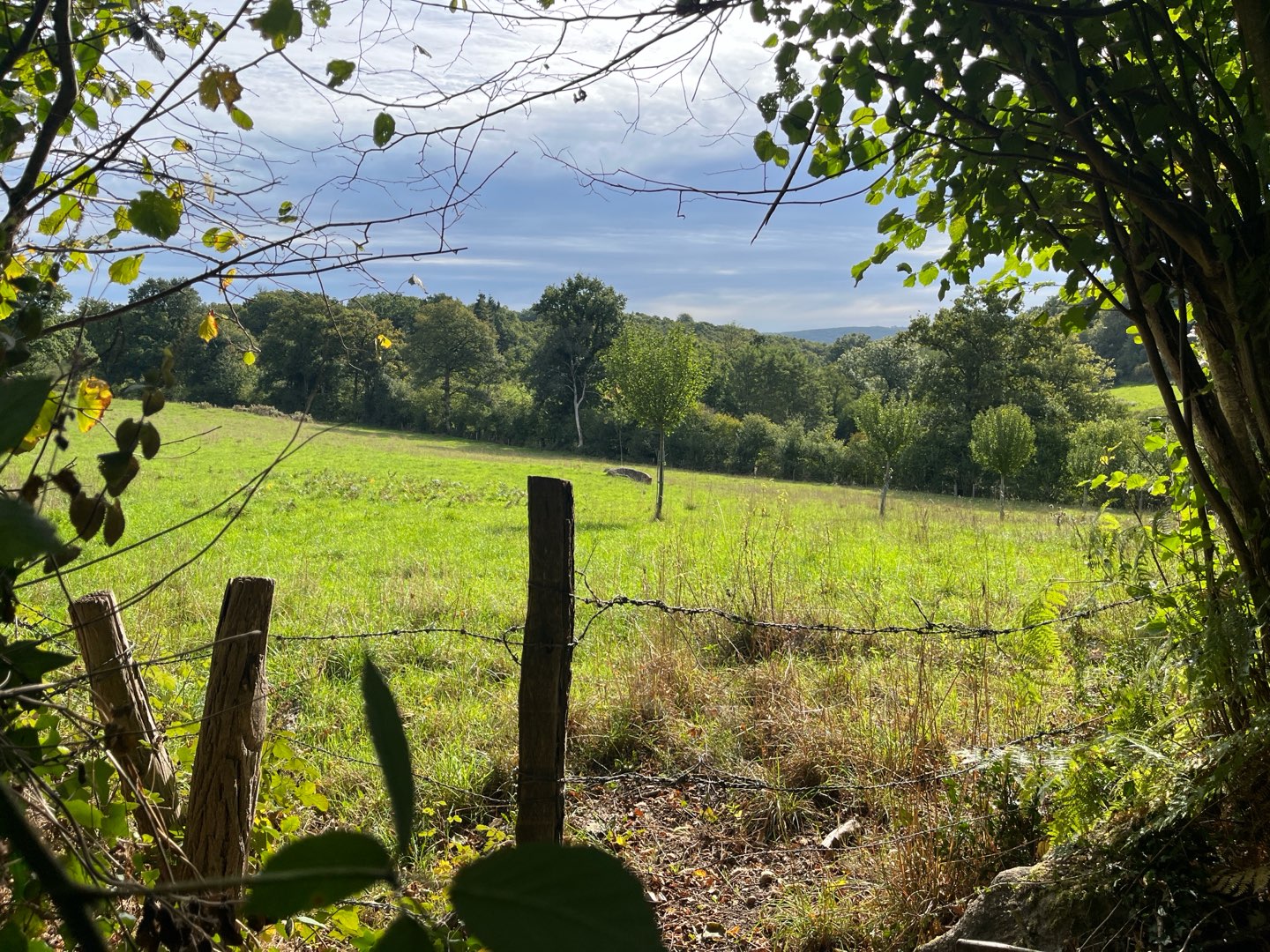
Le sentier du Lembron (ruisseau affluent de la Rouvre) se situe au cœur d’un bocage préservé, où les prairies et champs cultivés sont entourés de talus surmontés de haies.

- Distance 9.84 km
- Elevation gain 190 m
- Elevation lost 190 m
- Min. elevation 140 m
- Max. elevation. 199 m
- Duration (depending on pace) 02:45:00
- Suivre le balisage

Get all the routes on your smartphone with the Suisse Normande Outdoor app. You'll find a host of functions:
- Take advantage of detailed IGN maps
- Download data for consultation even when you're not connected to the network
- Geolocate yourself at any time on the route and altimeter profile
- Activate the off-track alarm to be alerted if you stray from the itinerary
- Find nearby services
- Share your experience (add a report, share your lap time)...

MahoFalkocito
MahoFalkocito


Falaise - Suisse Normande Tourist Office
+33(0)2 31 90 17 26
Tourist Office
send mail
Suisse Normande Tourisme
+33(0)2 31 79 70 45
Tourist Office
send mail
![]()
Montagnes de Normandie
+33(0)2 31 59 13 13
Tourist Office
send mail
Val d'Orne Tourist Office
+33(0)2 33 35 86 57
Tourist Office
send mail
 Suisse Normande Outdoor - Parcours - Le Lembron
Suisse Normande Outdoor - Parcours - Le Lembron
Suisse Normande Outdoor - Parcours - Le Lembron
Suisse Normande Outdoor - Parcours - Le Lembron
Suisse Normande Outdoor - Parcours - Le Lembron

